California’s Headwaters
Can’t see the map? Click here to open the Story Map in a new tab.
Can’t see the map? Click here to open the Story Map in a new tab.
How three rivers built Shasta County and much of the state’s water supply
Can’t see the map? Click here to open the Story Map in a new tab.
Can’t see the map? Click here to open the Story Map in a new tab.
How three rivers built Shasta County and much of the state’s water supply

As kids head back to school this fall, we are reminded that learning doesn’t have to stay inside four walls. Northern California’s forests, creeks, and oak woodlands are full of opportunities to explore math, science, and ecology through hands-on activities. Whether you’re an educator, parent, or community volunteer, these simple lessons can turn a walk…
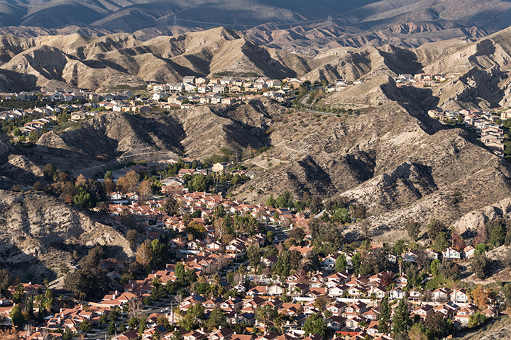
Executive Summary: How Proposition 45 Changes Local Decision-Making Proposition 45 rewrites state land use laws to remove planning power from local neighborhoods, city councils, and the legal system. Nearly every change benefits the developer. Apart from a limited tribal consultation requirement, nothing in the measure protects a community, preserves local environments, or gives residents a…
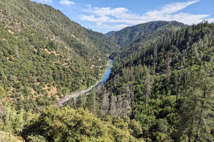
The Last Unroaded Forests When most people think of protected public land, they think of wilderness. But wilderness is only part of the story. The map below shows both designated wilderness and Inventoried Roadless Areas across Northern California’s national forests. Together, they represent the largest remaining undeveloped forest landscapes in the region. view the map…
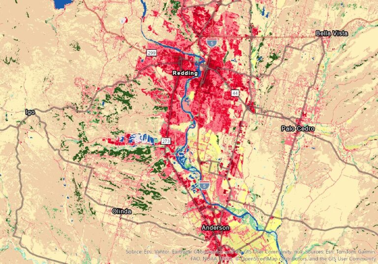
Redding Nights Are Staying Hot.That’s a Problem We Built. Redding has always been hot in the summer. But the heat people experience in Redding is not only a product of weather and geography; how much of the ground is paved, how much tree canopy is left to shade it, and how much open land has…
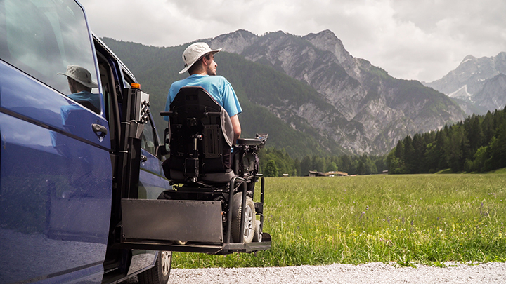
There are places in this region where the light shifts through oak branches, where the sound of water settles the mind, and where the horizon opens enough for a person to breathe a little more deeply. These are not luxuries. They are part of what ties a community to the land. Yet many of these…
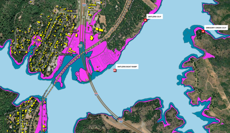
We’ve updated our Raising Shasta Dam webpage with a new interactive map to show how the reservoir would change if the dam is raised. The current full pool is shown in light blue, while the proposed higher full pool is shown in darker blue. The magenta line marks the additional area that could be taken…